Fri, 17 Apr 2026
|DHIVEHI


Advertisement
Housing Ministry begins drone mapping to restore imagery lost in fire
16 Dec 2024
|
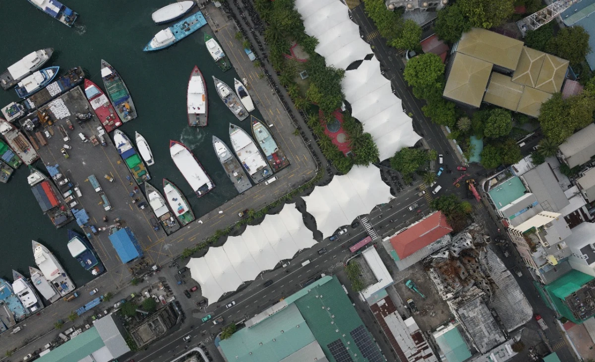
Photo: Ministry of Housing, Land and Urban Development
The Ministry of Housing, Land and Urban Development has initiated a drone mapping project in Malé following the devastating loss of critical urban imagery caused by the recent fire on December 12, 2024.
The Ministry’s Geomatics Department has turned to drone technology to rebuild the city's urban mapping database. This project not only aims to recover the lost data but also to enhance it with more advanced and detailed imagery, creating a more comprehensive resource for future planning.
The fire, which also ravaged the Green Building, had left the Housing Ministry grappling with the severe destruction of data stored on servers. It is unlikely that these servers, which contained years of vital information, can be recovered.
The fire did more than destroy vital documents—it erased years of meticulous work and knowledge that served as the foundation of the city's urban planning and growth. This loss represents not just data, but a crucial part of the city’s story, its vision for the future, and the shared efforts of those who worked to build it.
With most records stored digitally, the fire wiped out both critical information and the dedication invested in compiling it. Only a small number of physical documents were salvaged, and the focus now is on assessing the damage to the hard drives in an attempt to recover whatever remains.
The destruction of critical imagery has highlighted the vulnerability of vital systems and sparked urgent conversations about safeguarding against future losses. Calls for stronger data protection measures, such as secure backups and diversified storage solutions, have gained momentum. Despite the gravity of the loss, the Ministry’s response has inspired hope.